IMAGES TAKEN NEAR TO
Lonsdale Way, MAIDENHEAD, SL6 2YX
Introduction
This page details the photographs taken nearby to Lonsdale Way, SL6 2YX by members of the Geograph project.
The Geograph project started in 2005 with the aim of publishing, organising and preserving representative images for every square kilometre of Great Britain, Ireland and the Isle of Man.

There are currently over 7.5m images from over14,400 individuals and you can help contribute to the project by visiting https://www.geograph.org.uk
Image Map
Images are licensed for reuse under creativecommons.org/licenses/by-sa/2.0
Notes
- Clicking on the map will re-center to the selected point.
- The higher the marker number, the further away the image location is from the centre of the postcode.
Image Listing (17 Images Found)
Images are licensed for reuse under creativecommons.org/licenses/by-sa/2.0
Image
Details
Distance
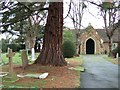
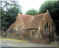
2
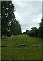
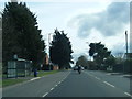
Navigating northwards up the Bashire (44)
Bray Cemetery: early July 2024
Image: © Basher Eyre
Taken: 3 Jul 2024
0.14 miles
3

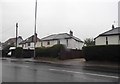
Holyport - Earlscourt
Modern detached housing in a cul-de-sac.
Image: © James Emmans
Taken: 11 Jun 2017
0.14 miles
4

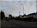
Holyport - Bucklebury Close
Modern houses.
Image: © James Emmans
Taken: 11 Jun 2017
0.16 miles