
IMAGES TAKEN NEAR TO
Landrace Drive, SG8 9GB
Introduction
This page details the photographs taken nearby to Landrace Drive, SG8 9GB by members of the Geograph project.
The Geograph project started in 2005 with the aim of publishing, organising and preserving representative images for every square kilometre of Great Britain, Ireland and the Isle of Man.

There are currently over 7.5m images from over14,400 individuals and you can help contribute to the project by visiting https://www.geograph.org.uk
Image Map
Images are licensed for reuse under creativecommons.org/licenses/by-sa/2.0
Notes
- Clicking on the map will re-center to the selected point.
- The higher the marker number, the further away the image location is from the centre of the postcode.
Image Listing (7 Images Found)
Images are licensed for reuse under creativecommons.org/licenses/by-sa/2.0
Image
Details
Distance
1
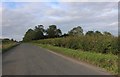
The Causeway, Therfield
Duckpuddle Bush is the name of the woods on the right
Image: © David Howard
Taken: 30 Aug 2020
0.03 miles
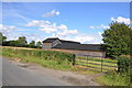
3
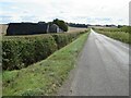
Therfield Road, near Royston
Therfield Road is a minor road through countryside in north Hertfordshire. The buildings to the left are Pantile Farm.
Image: © Malc McDonald
Taken: 25 Sep 2022
0.06 miles
4
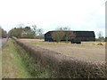
Duckpuddle Bush and Pantile Farm
I want to live at a place called Duckpuddle Bush.
Image: © Robin Hall
Taken: 16 Dec 2005
0.10 miles
6
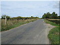
Therfield Road, near Royston
Therfield Road is a minor road through countryside in north Hertfordshire. A signpost points to the route of a public footpath leading off to the left.
Image: © Malc McDonald
Taken: 25 Sep 2022
0.11 miles
7
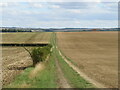
Track through fields near Royston
A track through fields in north Hertfordshire.
Image: © Malc McDonald
Taken: 25 Sep 2022
0.15 miles