IMAGES TAKEN NEAR TO
Brewery Lane, ROYSTON, SG8 6NS
Introduction
This page details the photographs taken nearby to Brewery Lane, SG8 6NS by members of the Geograph project.
The Geograph project started in 2005 with the aim of publishing, organising and preserving representative images for every square kilometre of Great Britain, Ireland and the Isle of Man.

There are currently over 7.5m images from over14,400 individuals and you can help contribute to the project by visiting https://www.geograph.org.uk
Image Map
Images are licensed for reuse under creativecommons.org/licenses/by-sa/2.0
Notes
- Clicking on the map will re-center to the selected point.
- The higher the marker number, the further away the image location is from the centre of the postcode.
Image Listing (48 Images Found)
Images are licensed for reuse under creativecommons.org/licenses/by-sa/2.0
Image
Details
Distance
1
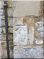
Meldreth: a stinkpipe on Brewery Lane
Just to the right of centre, in front of the flowering tree, is one of seven sewer vent pipes in the village, six of them, like this one, the substantial utilitarian concrete-cased pipes found in several other South Cambridgeshire villages.
The others:
Image]
Image]
Image]
Image]
Image]
Image]
For more about Meldreth’s stinkpipes, try the informative village website: https://www.meldrethhistory.org.uk/the-village/village-wide_information/stink_stench_pipes_of_meldreth .
Image: © John Sutton
Taken: 25 Mar 2021
0.01 miles
2
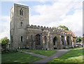
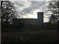
Meldreth, Holy Trinity
http://www.druidic.org/camchurch/churches/meldreth.htm
Image: © mym
Taken: 15 Jan 2004
0.08 miles
3
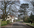
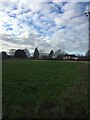
Meldreth: North End in early spring
Looking towards Shepreth.
Image: © John Sutton
Taken: 13 Mar 2014
0.08 miles
4
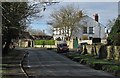
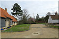
A March morning in Meldreth
A bend in North End, seen from opposite the church.
Image: © John Sutton
Taken: 4 Mar 2014
0.08 miles
5
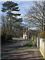
Meldreth: North End in early March
A view from the church gate on the first truly springlike morning of 2014.
Image: © John Sutton
Taken: 4 Mar 2014
0.08 miles
6
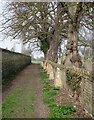
Meldreth: footpath by the churchyard
The path cuts a corner and leads to Malton Road.
Image: © John Sutton
Taken: 13 Mar 2014
0.08 miles
7
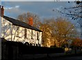
Mantings House and Holy Trinity Church, Meldreth
Just before sunset in mid-December. Mantings house is the white building on the left and was built in C19. See http://www.britishlistedbuildings.co.uk/en-52288-mantings-house-meldreth-cambridgeshire for entry in British Listed Buildings. Holy Trinity dates from C12.
Image: © Bikeboy
Taken: 7 Dec 2014
0.08 miles