Mantings House and Holy Trinity Church, Meldreth
Introduction
The photograph on this page of Mantings House and Holy Trinity Church, Meldreth by Bikeboy as part of the Geograph project.
The Geograph project started in 2005 with the aim of publishing, organising and preserving representative images for every square kilometre of Great Britain, Ireland and the Isle of Man.

There are currently over 7.5m images from over 14,400 individuals and you can help contribute to the project by visiting https://www.geograph.org.uk
Mantings House and Holy Trinity Church, Meldreth
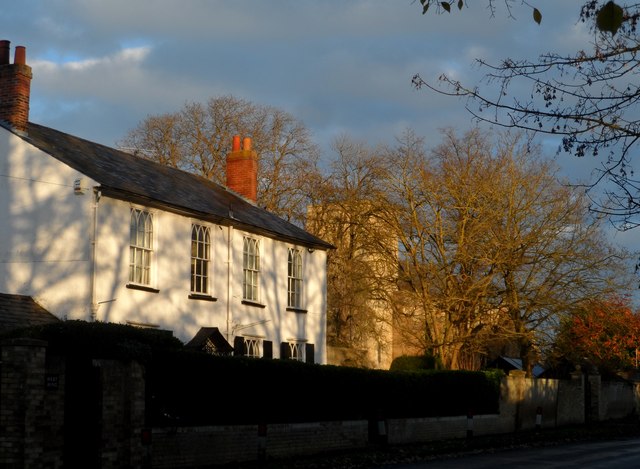
Image: © Bikeboy Taken: 7 Dec 2014
Just before sunset in mid-December. Mantings house is the white building on the left and was built in C19. See http://www.britishlistedbuildings.co.uk/en-52288-mantings-house-meldreth-cambridgeshire for entry in British Listed Buildings. Holy Trinity dates from C12.
Images are licensed for reuse under creativecommons.org/licenses/by-sa/2.0
Image Location
Latitude
52.102398
Longitude
0.00932