IMAGES TAKEN NEAR TO
Buttway, BALDOCK, SG7 5ND
Introduction
This page details the photographs taken nearby to Buttway, SG7 5ND by members of the Geograph project.
The Geograph project started in 2005 with the aim of publishing, organising and preserving representative images for every square kilometre of Great Britain, Ireland and the Isle of Man.

There are currently over 7.5m images from over14,400 individuals and you can help contribute to the project by visiting https://www.geograph.org.uk
Image Map
Images are licensed for reuse under creativecommons.org/licenses/by-sa/2.0
Notes
- Clicking on the map will re-center to the selected point.
- The higher the marker number, the further away the image location is from the centre of the postcode.
Image Listing (13 Images Found)
Images are licensed for reuse under creativecommons.org/licenses/by-sa/2.0
Image
Details
Distance
2
Sitting in the sun
On a lovely October morning I envied the two women who had found this bench on the lane between Ashwell and Ashwell End before me - but there was another, south facing, outside the village store, which made a good place for a cyclist to rest a while.
Image: © John Sutton
Taken: 27 Oct 2017
0.06 miles
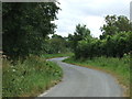
6

Track giving access to Bluegates Dairy Farm
Looking eastward.
Image: © Peter Wood
Taken: 10 Oct 2021
0.10 miles
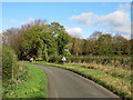
7
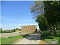
Strawstack and road to Bluegates dairy
Image: © Jonathan Thacker
Taken: 30 Apr 2022
0.10 miles
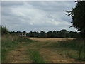
8
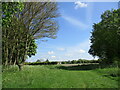
Field entrarce near Bluegates Dairy
Image: © Jonathan Thacker
Taken: 30 Apr 2022
0.12 miles
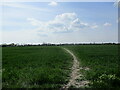
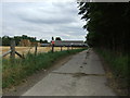
10
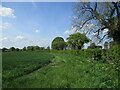
Wheat field and hedgerow near Ashwell End
Image: © Jonathan Thacker
Taken: 30 Apr 2022
0.13 miles