IMAGES TAKEN NEAR TO
Barnwell, STEVENAGE, SG2 9SJ
Introduction
This page details the photographs taken nearby to Barnwell, SG2 9SJ by members of the Geograph project.
The Geograph project started in 2005 with the aim of publishing, organising and preserving representative images for every square kilometre of Great Britain, Ireland and the Isle of Man.

There are currently over 7.5m images from over14,400 individuals and you can help contribute to the project by visiting https://www.geograph.org.uk
Image Map
Images are licensed for reuse under creativecommons.org/licenses/by-sa/2.0
Notes
- Clicking on the map will re-center to the selected point.
- The higher the marker number, the further away the image location is from the centre of the postcode.
Image Listing (9 Images Found)
Images are licensed for reuse under creativecommons.org/licenses/by-sa/2.0
Image
Details
Distance
1
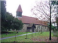
St Marys, Shephall
St Mary's Shephall is a lovely little old church in the middle of a sprawl of 20th century buildings.
Image: © Robin Hall
Taken: 17 Jan 2005
0.14 miles
2
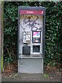
Telephone Box - may I borrow your mobile.
Not particularly significant but as I was passing I noticed it and couldn't resist.
Image: © Robin Hall
Taken: 17 Jan 2005
0.14 miles
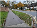
3
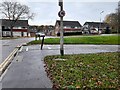
Taywood Close at the junction of Shephall Way
Image: © David Howard
Taken: 14 Nov 2021
0.24 miles
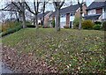
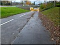
7
Shephall Way at the junction of Taywood Close
Image: © David Howard
Taken: 14 Nov 2021
0.24 miles
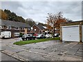
9
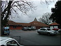
Greenside School.
This small area of Stevenage has so many schools that the average age in this area during the day must be about 11.
Image: © Robin Hall
Taken: 17 Jan 2005
0.25 miles