IMAGES TAKEN NEAR TO
Broadwater Crescent, STEVENAGE, SG2 8HG
Introduction
This page details the photographs taken nearby to Broadwater Crescent, SG2 8HG by members of the Geograph project.
The Geograph project started in 2005 with the aim of publishing, organising and preserving representative images for every square kilometre of Great Britain, Ireland and the Isle of Man.

There are currently over 7.5m images from over14,400 individuals and you can help contribute to the project by visiting https://www.geograph.org.uk
Image Map
Images are licensed for reuse under creativecommons.org/licenses/by-sa/2.0
Notes
- Clicking on the map will re-center to the selected point.
- The higher the marker number, the further away the image location is from the centre of the postcode.
Image Listing (8 Images Found)
Images are licensed for reuse under creativecommons.org/licenses/by-sa/2.0
Image
Details
Distance
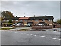
2
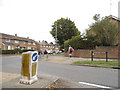
Ashdown Road at the junction of Broadwater Crescent
Image: © David Howard
Taken: 7 Sep 2017
0.09 miles
3
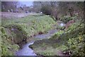
Stevenage Brook Wychell Water Meadow Stevenage
Image: © David Leeming
Taken: 7 Apr 1997
0.15 miles
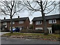
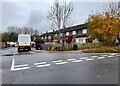
6
Houses on Broadwater Crescent, Stevenage
Image: © David Howard
Taken: 14 Nov 2021
0.21 miles
7
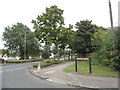
Brook Drive at the junction of Broadwater Crescent
Image: © David Howard
Taken: 7 Sep 2017
0.21 miles
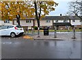
8
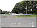
Broadwater Crescent looking towards Broadhall Way
Image: © David Howard
Taken: 7 Sep 2017
0.24 miles