IMAGES TAKEN NEAR TO
Rookery Close, STEVENAGE, SG2 7NL
Introduction
This page details the photographs taken nearby to Rookery Close, SG2 7NL by members of the Geograph project.
The Geograph project started in 2005 with the aim of publishing, organising and preserving representative images for every square kilometre of Great Britain, Ireland and the Isle of Man.

There are currently over 7.5m images from over14,400 individuals and you can help contribute to the project by visiting https://www.geograph.org.uk
Image Map
Images are licensed for reuse under creativecommons.org/licenses/by-sa/2.0
Notes
- Clicking on the map will re-center to the selected point.
- The higher the marker number, the further away the image location is from the centre of the postcode.
Image Listing (13 Images Found)
Images are licensed for reuse under creativecommons.org/licenses/by-sa/2.0
Image
Details
Distance
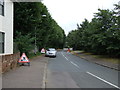
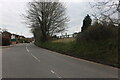
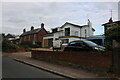
4
House on High Street, Walkern
At the junction of Stevenage Road
Image: © David Howard
Taken: 6 Sep 2020
0.07 miles
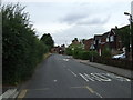
8
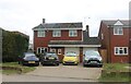
Houses on High Street, Walkern
I wonder if all the cars belong to the residents?
Image: © David Howard
Taken: 3 Apr 2022
0.11 miles
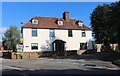
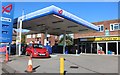
10
Entrance to the Stable Yard Kitchen, Walkern
This was opened in 2017 as a food business made to order. It originally had a gift shop which has since closed. http://thestableyardkitchen.com/
Image: © David Howard
Taken: 3 Apr 2022
0.14 miles