
IMAGES TAKEN NEAR TO
Christie Road, STEVENAGE, SG2 0NG
Introduction
This page details the photographs taken nearby to Christie Road, SG2 0NG by members of the Geograph project.
The Geograph project started in 2005 with the aim of publishing, organising and preserving representative images for every square kilometre of Great Britain, Ireland and the Isle of Man.

There are currently over 7.5m images from over14,400 individuals and you can help contribute to the project by visiting https://www.geograph.org.uk
Image Map
Images are licensed for reuse under creativecommons.org/licenses/by-sa/2.0
Notes
- Clicking on the map will re-center to the selected point.
- The higher the marker number, the further away the image location is from the centre of the postcode.
Image Listing (22 Images Found)
Images are licensed for reuse under creativecommons.org/licenses/by-sa/2.0
Image
Details
Distance
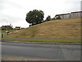
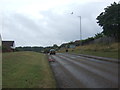
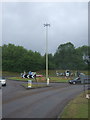
4
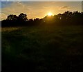
Aston End Sunset
Located along a footpath near Gresley Way on the border of Aston End and Stevenage.
Image: © andy
Taken: 24 Oct 2023
0.07 miles
5
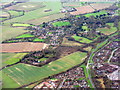
Chells Park, Stevenage
Farmland and housing on the eastern edge of Stevenage. Looking south.
Image: © M J Richardson
Taken: 12 Dec 2014
0.09 miles
6
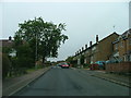
Ferrier Rd
This could be any road in this area. Plans seem to have been bought as a job lot.
Image: © Robin Hall
Taken: 25 Jul 2005
0.12 miles
7
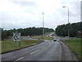
Six Hills Way, Stevenage
Approaching roundabout.
Image: © JThomas
Taken: 27 Jul 2019
0.13 miles
8

Horse Farm - Aston End
A Horse Farm located just outside of Stevenage going into the village of Aston End and one particular Horse came to say Hello to my camera.
Image: © andy
Taken: 9 Oct 2023
0.16 miles
9
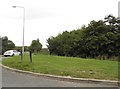
Lanterns Lane at the corner of Gresley Way
Image: © David Howard
Taken: 7 Sep 2017
0.19 miles
10
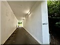
Former Lanterns Lane Stevenage
This underpass/bridge was built in the 1980s for the road above Gresley Way which leads to the 1980s/1990s housing estate area known as Chells Manor.
The underpass/bridge was built after the former Lanterns Lane was closed off to traffic in the 1980s which is the new footpath in the photo above.
Image: © andy
Taken: 6 Aug 2024
0.19 miles