IMAGES TAKEN NEAR TO
Winsford Road, LONDON, SE6 4LS
Introduction
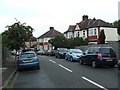
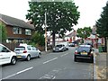
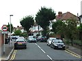
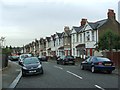
This page details the photographs taken nearby to Winsford Road, SE6 4LS by members of the Geograph project.
The Geograph project started in 2005 with the aim of publishing, organising and preserving representative images for every square kilometre of Great Britain, Ireland and the Isle of Man.

There are currently over 7.5m images from over14,400 individuals and you can help contribute to the project by visiting https://www.geograph.org.uk
Image Map
Images are licensed for reuse under creativecommons.org/licenses/by-sa/2.0
Notes
- Clicking on the map will re-center to the selected point.
- The higher the marker number, the further away the image location is from the centre of the postcode.
Image Listing (90 Images Found)
Images are licensed for reuse under creativecommons.org/licenses/by-sa/2.0
Image
Details
Distance
9
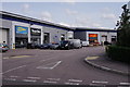
Bell Green
Bell Green Retail Park, showing some of the smaller units.
Image: © Peter Trimming
Taken: 30 Aug 2018
0.16 miles
10
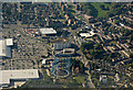
Bell Green gas holders from the air
The bases of the disused holders are being filled. Bell Green retail park is on the left.
Image: © Thomas Nugent
Taken: 26 Aug 2019
0.16 miles