IMAGES TAKEN NEAR TO
Elfrida Crescent, LONDON, SE6 3EN
Introduction
This page details the photographs taken nearby to Elfrida Crescent, SE6 3EN by members of the Geograph project.
The Geograph project started in 2005 with the aim of publishing, organising and preserving representative images for every square kilometre of Great Britain, Ireland and the Isle of Man.

There are currently over 7.5m images from over14,400 individuals and you can help contribute to the project by visiting https://www.geograph.org.uk
Image Map
Images are licensed for reuse under creativecommons.org/licenses/by-sa/2.0
Notes
- Clicking on the map will re-center to the selected point.
- The higher the marker number, the further away the image location is from the centre of the postcode.
Image Listing (31 Images Found)
Images are licensed for reuse under creativecommons.org/licenses/by-sa/2.0
Image
Details
Distance
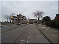
1
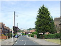
Overdown Road, SE6
Overdown Road is part of the Bellingham Estate, developed by the London County Council in the period between the two World Wars. The estate was built to ease a housing shortage which existed in London at the time.
Image: © Malc McDonald
Taken: 25 May 2011
0.07 miles
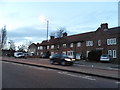
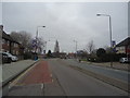
3
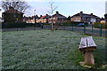
Frosty bench
On the small triangular green between Brookehowse Road and Swallands Road.
Image: © David Martin
Taken: 19 Jan 2016
0.13 miles