IMAGES TAKEN NEAR TO
Mumford Road, LONDON, SE24 0BF
Introduction
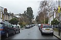
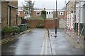
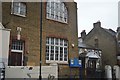
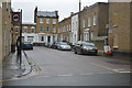
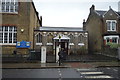
This page details the photographs taken nearby to Mumford Road, SE24 0BF by members of the Geograph project.
The Geograph project started in 2005 with the aim of publishing, organising and preserving representative images for every square kilometre of Great Britain, Ireland and the Isle of Man.

There are currently over 7.5m images from over14,400 individuals and you can help contribute to the project by visiting https://www.geograph.org.uk
Image Map
Images are licensed for reuse under creativecommons.org/licenses/by-sa/2.0
Notes
- Clicking on the map will re-center to the selected point.
- The higher the marker number, the further away the image location is from the centre of the postcode.
Image Listing (107 Images Found)
Images are licensed for reuse under creativecommons.org/licenses/by-sa/2.0
Image
Details
Distance
7
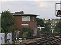
Herne Hill signalbox
Viewed from the platform of the adjacent station.
Image: © Stephen Craven
Taken: 19 Sep 2005
0.05 miles
9
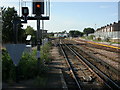
Herne Hill, railway junction
To the left, lines to Brixton and Victoria; to the right, to Loughborough Junction and Blackfriars.
Image: © Mike Faherty
Taken: 16 Aug 2009
0.06 miles