IMAGES TAKEN NEAR TO
Loxton Road, LONDON, SE23 2ET
Introduction
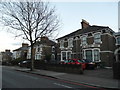
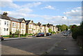
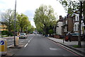
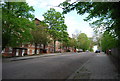
This page details the photographs taken nearby to Loxton Road, SE23 2ET by members of the Geograph project.
The Geograph project started in 2005 with the aim of publishing, organising and preserving representative images for every square kilometre of Great Britain, Ireland and the Isle of Man.

There are currently over 7.5m images from over14,400 individuals and you can help contribute to the project by visiting https://www.geograph.org.uk
Image Map
Images are licensed for reuse under creativecommons.org/licenses/by-sa/2.0
Notes
- Clicking on the map will re-center to the selected point.
- The higher the marker number, the further away the image location is from the centre of the postcode.
Image Listing (77 Images Found)
Images are licensed for reuse under creativecommons.org/licenses/by-sa/2.0
Image
Details
Distance
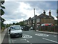
4
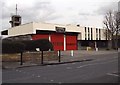
Forest Hill Fire Station
On Stanstead Road
Image: © graham ross
Taken: 11 Feb 2006
0.17 miles
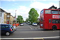
10
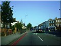
A205 - South Circular Road, SE23
Stanstead Road junction with Brockley Rise and Cranston Road, part of the South Circular Road, A205.
Image: © Phillip Perry
Taken: 13 Jul 2008
0.18 miles