IMAGES TAKEN NEAR TO
Malyons Terrace, LONDON, SE13 7XJ
Introduction
This page details the photographs taken nearby to Malyons Terrace, SE13 7XJ by members of the Geograph project.
The Geograph project started in 2005 with the aim of publishing, organising and preserving representative images for every square kilometre of Great Britain, Ireland and the Isle of Man.

There are currently over 7.5m images from over14,400 individuals and you can help contribute to the project by visiting https://www.geograph.org.uk
Image Map
Images are licensed for reuse under creativecommons.org/licenses/by-sa/2.0
Notes
- Clicking on the map will re-center to the selected point.
- The higher the marker number, the further away the image location is from the centre of the postcode.
Image Listing (200 Images Found)
Images are licensed for reuse under creativecommons.org/licenses/by-sa/2.0
Image
Details
Distance
6
The River Ravensbourne - Honor Oak Branch, near Slagrove Place, SE13 (6)
Image: © Mike Quinn
Taken: 5 Aug 2009
0.04 miles
7
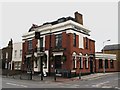
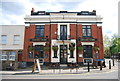
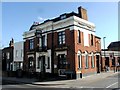
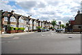
The Ladywell Tavern, Ladywell Road / Malyons Road, SE13
Image: © Mike Quinn
Taken: 5 Aug 2009
0.05 miles
8
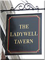
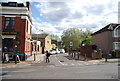
Sign for The Ladywell Tavern, Ladywell Road / Malyons Road, SE13
See Image
Image: © Mike Quinn
Taken: 5 Aug 2009
0.05 miles
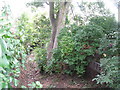
10
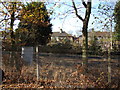
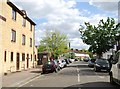
Railway line passing alongside Ladywell Fields
Looking northwest towards the houses on Malyons Road.
Image: © Robert Lamb
Taken: 25 Nov 2011
0.06 miles