IMAGES TAKEN NEAR TO
Reney Crescent, SHEFFIELD, S8 7FS
Introduction
This page details the photographs taken nearby to Reney Crescent, S8 7FS by members of the Geograph project.
The Geograph project started in 2005 with the aim of publishing, organising and preserving representative images for every square kilometre of Great Britain, Ireland and the Isle of Man.

There are currently over 7.5m images from over14,400 individuals and you can help contribute to the project by visiting https://www.geograph.org.uk
Image Map
Images are licensed for reuse under creativecommons.org/licenses/by-sa/2.0
Notes
- Clicking on the map will re-center to the selected point.
- The higher the marker number, the further away the image location is from the centre of the postcode.
Image Listing (38 Images Found)
Images are licensed for reuse under creativecommons.org/licenses/by-sa/2.0
Image
Details
Distance
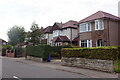
2
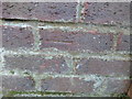
Cut Mark 94 Hemper Lane Sheffield
as above
Image: © Monica Stagg
Taken: 24 Feb 2015
0.08 miles
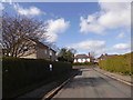
5
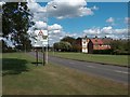
Greenhill Parkway with Low Edges council estate to the right
Image: © Neil Theasby
Taken: 15 Aug 2011
0.10 miles
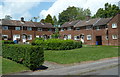
7
Houses on Reney Avenue
Towards the eastern end of a long residential street.
Image: © Andrew Hill
Taken: 24 May 2011
0.12 miles


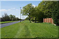
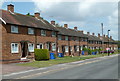
10
Houses on Reney Avenue
A small section of a long residential street. This is just east of the little spur of Reney Walk on the opposite side.
Image: © Andrew Hill
Taken: 24 May 2011
0.13 miles