
IMAGES TAKEN NEAR TO
Watson Road, WORKSOP, S80 2BB
Introduction
This page details the photographs taken nearby to Watson Road, S80 2BB by members of the Geograph project.
The Geograph project started in 2005 with the aim of publishing, organising and preserving representative images for every square kilometre of Great Britain, Ireland and the Isle of Man.

There are currently over 7.5m images from over14,400 individuals and you can help contribute to the project by visiting https://www.geograph.org.uk
Image Map
Images are licensed for reuse under creativecommons.org/licenses/by-sa/2.0
Notes
- Clicking on the map will re-center to the selected point.
- The higher the marker number, the further away the image location is from the centre of the postcode.
Image Listing (249 Images Found)
Images are licensed for reuse under creativecommons.org/licenses/by-sa/2.0
Image
Details
Distance
1
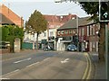
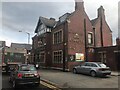
Watson Road
This is the main north-south route through the town centre following the pedestrianisation of Bridge Street.
Image: © Alan Murray-Rust
Taken: 4 Oct 2015
0.01 miles
6
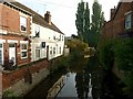
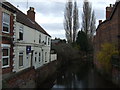
River Ryton from Watson Road Bridge
A very placid stream following minimal rainfall in the preceding weeks.
Image: © Alan Murray-Rust
Taken: 4 Oct 2015
0.03 miles
7
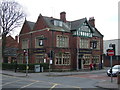
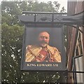
King Edward VII pub, Worksop
On Ryton Street.
Image: © JThomas
Taken: 17 Mar 2014
0.04 miles
9
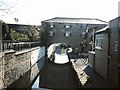
Worksop
An unusual old warehouse building built across the Chesterfield Canal.
Image: © David Stowell
Taken: Unknown
0.06 miles
10
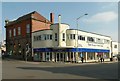
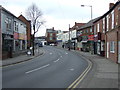
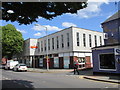
The corner of Watson Road and Bridge Place
A distinctive piece of Art Deco architecture, relatively unaltered. As well as retail premises on the ground floor, the building also contained a dance hall when first built. The building to the left is a former gas showroom; there is a bench mark http://www.geograph.org.uk/photo/4689224 on its near corner.
Image: © Alan Murray-Rust
Taken: 4 Oct 2015
0.06 miles