Watson Road
Introduction
The photograph on this page of Watson Road by Alan Murray-Rust as part of the Geograph project.
The Geograph project started in 2005 with the aim of publishing, organising and preserving representative images for every square kilometre of Great Britain, Ireland and the Isle of Man.

There are currently over 7.5m images from over 14,400 individuals and you can help contribute to the project by visiting https://www.geograph.org.uk
Watson Road
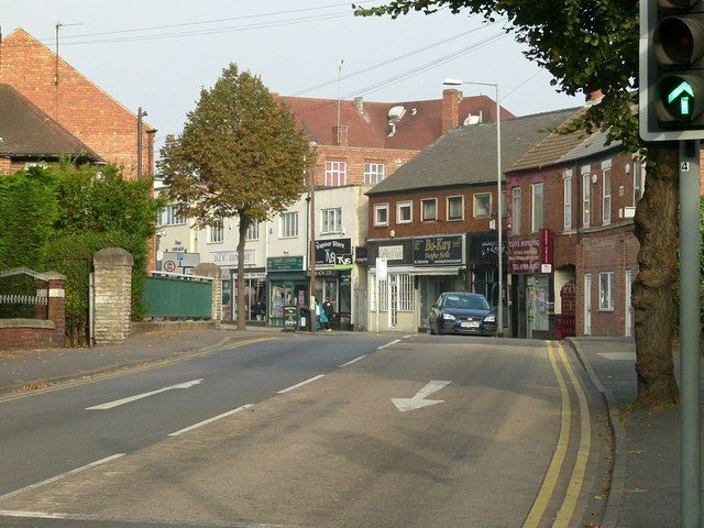
Image: © Alan Murray-Rust Taken: 4 Oct 2015
This is the main north-south route through the town centre following the pedestrianisation of Bridge Street.
Images are licensed for reuse under creativecommons.org/licenses/by-sa/2.0
Image Location
Latitude
53.305793
Longitude
-1.122213