IMAGES TAKEN NEAR TO
Knabs Lane, BARNSLEY, S75 4RE
Introduction
This page details the photographs taken nearby to Knabs Lane, S75 4RE by members of the Geograph project.
The Geograph project started in 2005 with the aim of publishing, organising and preserving representative images for every square kilometre of Great Britain, Ireland and the Isle of Man.

There are currently over 7.5m images from over14,400 individuals and you can help contribute to the project by visiting https://www.geograph.org.uk
Image Map
Images are licensed for reuse under creativecommons.org/licenses/by-sa/2.0
Notes
- Clicking on the map will re-center to the selected point.
- The higher the marker number, the further away the image location is from the centre of the postcode.
Image Listing (12 Images Found)
Images are licensed for reuse under creativecommons.org/licenses/by-sa/2.0
Image
Details
Distance

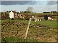
7
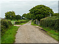
Footpath on driveway to Berry Moor Farm, Thurgoland
Image: © Humphrey Bolton
Taken: 10 Sep 2020
0.15 miles
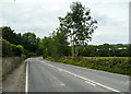
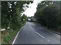
8
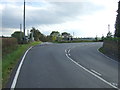
Coates Lane (B6449)
Heading south west towards Oxspring.
Image: © JThomas
Taken: 3 Oct 2014
0.21 miles
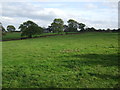
9
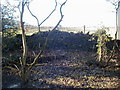
Nabs Wood
Dry stone wall surrounding Nabs Wood before our Dry Stone Walling course Feb 07
Image: © les young
Taken: 3 Feb 2007
0.21 miles