IMAGES TAKEN NEAR TO
Lapwater Walk, ROTHERHAM, S61 4NE
Introduction
This page details the photographs taken nearby to Lapwater Walk, S61 4NE by members of the Geograph project.
The Geograph project started in 2005 with the aim of publishing, organising and preserving representative images for every square kilometre of Great Britain, Ireland and the Isle of Man.

There are currently over 7.5m images from over14,400 individuals and you can help contribute to the project by visiting https://www.geograph.org.uk
Image Map
Images are licensed for reuse under creativecommons.org/licenses/by-sa/2.0
Notes
- Clicking on the map will re-center to the selected point.
- The higher the marker number, the further away the image location is from the centre of the postcode.
Image Listing (23 Images Found)
Images are licensed for reuse under creativecommons.org/licenses/by-sa/2.0
Image
Details
Distance
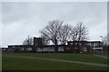
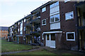
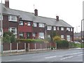
2
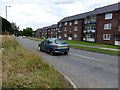
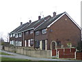
Town Lane, Wingfield
This road on the edge of a housing estate is also part of the Trans Pennine Trail
Image: © Graham Hogg
Taken: 11 Aug 2014
0.13 miles
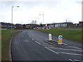
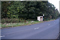
9
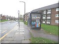
Bus stop, Roughwood Road
All the bus stops in South Yorkshire are blue - it's one of the ways you can tell when you have crossed the border.
Image: © Christine Johnstone
Taken: 6 Nov 2009
0.18 miles