
IMAGES TAKEN NEAR TO
Swinger Lane, CHESTERFIELD, S45 0DH
Introduction
This page details the photographs taken nearby to Swinger Lane, S45 0DH by members of the Geograph project.
The Geograph project started in 2005 with the aim of publishing, organising and preserving representative images for every square kilometre of Great Britain, Ireland and the Isle of Man.

There are currently over 7.5m images from over14,400 individuals and you can help contribute to the project by visiting https://www.geograph.org.uk
Image Map
Images are licensed for reuse under creativecommons.org/licenses/by-sa/2.0
Notes
- Clicking on the map will re-center to the selected point.
- The higher the marker number, the further away the image location is from the centre of the postcode.
Image Listing (10 Images Found)
Images are licensed for reuse under creativecommons.org/licenses/by-sa/2.0
Image
Details
Distance
1
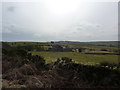
Alicehead Road Farm
The entrance to this farm is off Swinger Lane
Image: © Peter Barr
Taken: 28 Feb 2010
0.06 miles
4
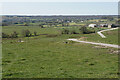
Track to Dryhurst Farm
The farm is on a plateau of farmland at the head of the Amber valley, which develops off left.
Image: © Bill Boaden
Taken: 19 Apr 2021
0.15 miles
6
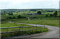
Farm track to Dryhurst Farm
The track winds away across semi moorland from Alice Head Road.
Image: © Andrew Hill
Taken: 16 Jun 2011
0.16 miles
7
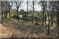
Alicehead Farm
Viewed from the track which crosses the access land behind the farm. The farmhouse is currently undergoing some refurbishment work.
Image: © Bill Boaden
Taken: 19 Apr 2021
0.16 miles
8
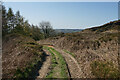
Track at Alicehead
Crossing an area of access land, the track links farmland on the top of the ridge with Alicehead Road.
Image: © Bill Boaden
Taken: 19 Apr 2021
0.16 miles
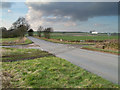
9
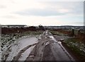
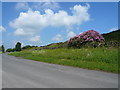
Swinger Lane
Single track road pictured here on a cold Saturday morning in early December. The gateway on the right leads to Alicehead Road Farm.
Image: © Jonathan Clitheroe
Taken: 10 Dec 2011
0.19 miles
10
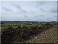
View from Alicehead Road
Looking west in the direction of Dryhurst Farm
Image: © Peter Barr
Taken: 28 Feb 2010
0.22 miles