Track at Alicehead
Introduction
The photograph on this page of Track at Alicehead by Bill Boaden as part of the Geograph project.
The Geograph project started in 2005 with the aim of publishing, organising and preserving representative images for every square kilometre of Great Britain, Ireland and the Isle of Man.

There are currently over 7.5m images from over 14,400 individuals and you can help contribute to the project by visiting https://www.geograph.org.uk
Track at Alicehead
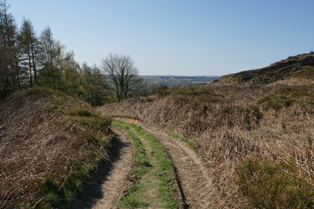
Image: © Bill Boaden Taken: 19 Apr 2021
Crossing an area of access land, the track links farmland on the top of the ridge with Alicehead Road.
Images are licensed for reuse under creativecommons.org/licenses/by-sa/2.0
Image Location
Latitude
53.189593
Longitude
-1.500691