
IMAGES TAKEN NEAR TO
Ronald Road, ROMFORD, RM3 0RB
Introduction
This page details the photographs taken nearby to Ronald Road, RM3 0RB by members of the Geograph project.
The Geograph project started in 2005 with the aim of publishing, organising and preserving representative images for every square kilometre of Great Britain, Ireland and the Isle of Man.

There are currently over 7.5m images from over14,400 individuals and you can help contribute to the project by visiting https://www.geograph.org.uk
Image Map
Images are licensed for reuse under creativecommons.org/licenses/by-sa/2.0
Notes
- Clicking on the map will re-center to the selected point.
- The higher the marker number, the further away the image location is from the centre of the postcode.
Image Listing (40 Images Found)
Images are licensed for reuse under creativecommons.org/licenses/by-sa/2.0
Image
Details
Distance
1
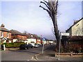
Corner of Ethelburga Road
Part of a relatively short roadside stretch on the London Loop going through Harold Wood.
Some fairly serious road names along here. In quick succession we pass Athelstan, Ethelburga and Archibald Roads. Then on to Gubbins Lane round the corner.
Image: © Des Blenkinsopp
Taken: 13 Mar 2014
0.09 miles
2
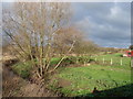
View from Cockabourne Bridge
View across the fields at the point where Shepherd's Hill meets Squirrels Heath Road. The stream is Paines Brook.
Image: © Ian Paterson
Taken: 17 Dec 2009
0.11 miles
4
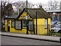
Let's all go to the yellow house
Quaint premises for one of the local Estate Agents. http://www.robertparish.co.uk/
Image: © Ian Paterson
Taken: 17 Dec 2009
0.12 miles
5
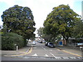
Arundel Road, Harold Wood
Off Station Road.
Image: © Richard Vince
Taken: 2 Sep 2023
0.12 miles
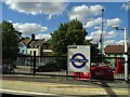
7
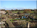
Archibald Road Allotments
View across the allotments to some nice green land beyond.
Image: © Ian Paterson
Taken: 17 Dec 2009
0.12 miles
8
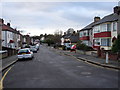
Queens Park Road
Looking west towards Harold Wood library.
Image: © Ian Paterson
Taken: 17 Dec 2009
0.13 miles
9
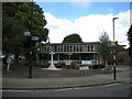
Harold Wood Library
At the east end of Station Road as it becomes Avenue Road (right).
Image: © Richard Vince
Taken: 2 Sep 2023
0.13 miles
10
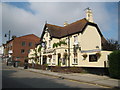
Harold Wood: The King Harold
The date plaque high up in the gable states 1868, which makes the pub exactly contemporary with the opening of Image, and its function as the hotel for the station is confirmed on the old large scale Ordnance Survey map of 1896 where it is shown as the King Harold Hotel.
Image: © Nigel Cox
Taken: 26 Aug 2013
0.13 miles