IMAGES TAKEN NEAR TO
Brentwood Road, UPMINSTER, RM14 3SL
Introduction
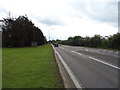
This page details the photographs taken nearby to Brentwood Road, RM14 3SL by members of the Geograph project.
The Geograph project started in 2005 with the aim of publishing, organising and preserving representative images for every square kilometre of Great Britain, Ireland and the Isle of Man.

There are currently over 7.5m images from over14,400 individuals and you can help contribute to the project by visiting https://www.geograph.org.uk
Image Map
Images are licensed for reuse under creativecommons.org/licenses/by-sa/2.0
Notes
- Clicking on the map will re-center to the selected point.
- The higher the marker number, the further away the image location is from the centre of the postcode.
Image Listing (20 Images Found)
Images are licensed for reuse under creativecommons.org/licenses/by-sa/2.0
Image
Details
Distance
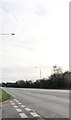
6
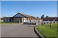
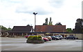
A Locked Down Plough
The motel is closed because of government Covid-19 precautions.
Image: © Glyn Baker
Taken: 25 Mar 2020
0.05 miles
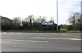
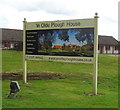
8
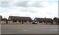
Accommodation, Ye Olde Plough House, Bulphan
Image: © JThomas
Taken: 11 May 2019
0.05 miles
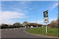
10
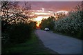
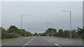
Sunset in Peartree Lane
Peartree Lane runs off Image
Image: © Glyn Baker
Taken: 7 Apr 2008
0.11 miles