IMAGES TAKEN NEAR TO
Furness Way, HORNCHURCH, RM12 5JH
Introduction
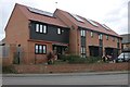
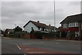
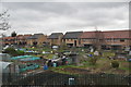
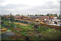
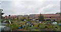
This page details the photographs taken nearby to Furness Way, RM12 5JH by members of the Geograph project.
The Geograph project started in 2005 with the aim of publishing, organising and preserving representative images for every square kilometre of Great Britain, Ireland and the Isle of Man.

There are currently over 7.5m images from over14,400 individuals and you can help contribute to the project by visiting https://www.geograph.org.uk
Image Map
Images are licensed for reuse under creativecommons.org/licenses/by-sa/2.0
Notes
- Clicking on the map will re-center to the selected point.
- The higher the marker number, the further away the image location is from the centre of the postcode.
Image Listing (7 Images Found)
Images are licensed for reuse under creativecommons.org/licenses/by-sa/2.0
Image
Details
Distance

6
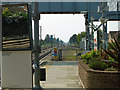
View west from Elm Park station
The white message board on the left says at the bottom "Service information only Not to be used for safety critical information".
Image: © Robin Webster
Taken: 24 Apr 2011
0.24 miles