
IMAGES TAKEN NEAR TO
Burney Road, DORKING, RH5 6AU
Introduction
This page details the photographs taken nearby to Burney Road, RH5 6AU by members of the Geograph project.
The Geograph project started in 2005 with the aim of publishing, organising and preserving representative images for every square kilometre of Great Britain, Ireland and the Isle of Man.

There are currently over 7.5m images from over14,400 individuals and you can help contribute to the project by visiting https://www.geograph.org.uk
Image Map
Images are licensed for reuse under creativecommons.org/licenses/by-sa/2.0
Notes
- Clicking on the map will re-center to the selected point.
- The higher the marker number, the further away the image location is from the centre of the postcode.
Image Listing (34 Images Found)
Images are licensed for reuse under creativecommons.org/licenses/by-sa/2.0
Image
Details
Distance
1
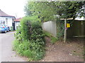
Public footpath, Westhumble, near Dorking
The wooden sign indicates the route of a public footpath in the village of Westhumble, in Surrey.
Image: © Malc McDonald
Taken: 28 Jul 2019
0.11 miles
2
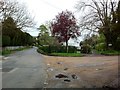
Chapel Lane junction with Adlers Lane
Junction of Chapel Lane (straight ahead, to left) with Burney Road (a private estate road) and Adlers Lane (ahead, to right). Opposite (out of sight) is Image
Image: © Hugh Craddock
Taken: 5 May 2012
0.11 miles
3
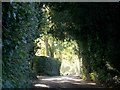
Chapel Lane, Westhumble
The lane leads up the dry valley towards Ranmore and Polesden Lacey.
Image: © Thomas Grant
Taken: Unknown
0.11 miles
4
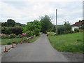
Adlers Lane, Westhumble, near Dorking
Adlers Lane in the village of Westhumble, in the North Downs.
Image: © Malc McDonald
Taken: 28 Jul 2019
0.11 miles
5
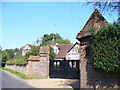
Postern House
Select house in rural Westhumble, a hamlet in the Mole Gap, Surrey Stockbroker belt country.
Image: © Colin Smith
Taken: 20 Sep 2008
0.13 miles
6
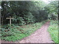
North Downs Way, near Dorking
A signpost on the North Downs Way, near the village of Westhumble.
Image: © Malc McDonald
Taken: 28 Jul 2019
0.15 miles
7
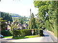
Chapel Lane, Westhumble
Rural lane leading from the hamlet centre to the ruined chapel.
Image: © Colin Smith
Taken: 20 Sep 2008
0.15 miles
8
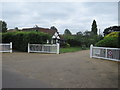
Pilgrims Way, Westhumble, near Dorking
Pilgrims Way is a private residential road in the village of Westhumble, in Surrey.
Image: © Malc McDonald
Taken: 28 Jul 2019
0.18 miles
9
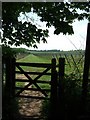
Mole Gap Trail
Where the path enters Denbies Vineyard
Image: © Martyn Davies
Taken: 11 May 2006
0.18 miles
10

Footpath to Westhumble
Narrow and fenced downland path, passing a metallic water trough. There is very little surface water on the hills here, hence the need for cattle troughs.
Image: © Colin Smith
Taken: 22 May 2011
0.19 miles