Chapel Lane junction with Adlers Lane
Introduction
The photograph on this page of Chapel Lane junction with Adlers Lane by Hugh Craddock as part of the Geograph project.
The Geograph project started in 2005 with the aim of publishing, organising and preserving representative images for every square kilometre of Great Britain, Ireland and the Isle of Man.

There are currently over 7.5m images from over 14,400 individuals and you can help contribute to the project by visiting https://www.geograph.org.uk
Chapel Lane junction with Adlers Lane
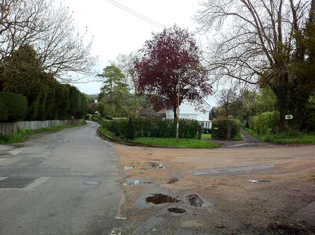
Image: © Hugh Craddock Taken: 5 May 2012
Junction of Chapel Lane (straight ahead, to left) with Burney Road (a private estate road) and Adlers Lane (ahead, to right). Opposite (out of sight) is Image
Images are licensed for reuse under creativecommons.org/licenses/by-sa/2.0
Image Location
Latitude
51.253972
Longitude
-0.335284