
IMAGES TAKEN NEAR TO
Willow Mead, EAST GRINSTEAD, RH19 4TA
Introduction
This page details the photographs taken nearby to Willow Mead, RH19 4TA by members of the Geograph project.
The Geograph project started in 2005 with the aim of publishing, organising and preserving representative images for every square kilometre of Great Britain, Ireland and the Isle of Man.

There are currently over 7.5m images from over14,400 individuals and you can help contribute to the project by visiting https://www.geograph.org.uk
Image Map
Images are licensed for reuse under creativecommons.org/licenses/by-sa/2.0
Notes
- Clicking on the map will re-center to the selected point.
- The higher the marker number, the further away the image location is from the centre of the postcode.
Image Listing (399 Images Found)
Images are licensed for reuse under creativecommons.org/licenses/by-sa/2.0
Image
Details
Distance
1
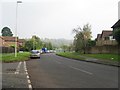
Hermitage Lane
Residential area on the southern side of East Grinstead.
Image: © Dave Spicer
Taken: 24 Oct 2012
0.06 miles
2
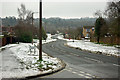
Herontye Drive
One of the areas which greatly expanded East Grinstead in the last fifty years.
Image: © Robin Webster
Taken: 15 Jan 2010
0.07 miles
3
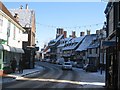
East Grinstead High Street
The row of Tudor houses on a snowy Sunday.
Image: © Ben Gamble
Taken: 20 Dec 2009
0.12 miles
4
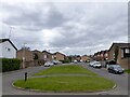
Tudor Close, East Grinstead
A cul de sac off stuart Way built in the late 1970s.
Image: © Simon Carey
Taken: 7 Apr 2021
0.12 miles
5
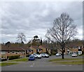
Windsor Close, East Grinstead
A cul de sac off Herontye Drive built in the late 1970s.
Image: © Simon Carey
Taken: 7 Apr 2021
0.14 miles
6
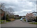
Hampton Way, East Grinstead
A cul de sac off Stuart Way built in the late 1970s.
Image: © Simon Carey
Taken: 7 Apr 2021
0.15 miles
9
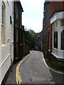
Hermitage Lane
Small lane heading south from the High Street its slope giving an indication of East Grinstead's main street being built on a Wealden ridge.
Image: © Simon Carey
Taken: 20 Apr 2008
0.17 miles
10
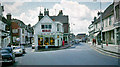
East Grinstead: High Street at Church Lane, 1966
View northward [?].
Image: © Ben Brooksbank
Taken: 8 Jun 1966
0.17 miles