Hermitage Lane
Introduction
The photograph on this page of Hermitage Lane by Simon Carey as part of the Geograph project.
The Geograph project started in 2005 with the aim of publishing, organising and preserving representative images for every square kilometre of Great Britain, Ireland and the Isle of Man.

There are currently over 7.5m images from over 14,400 individuals and you can help contribute to the project by visiting https://www.geograph.org.uk
Hermitage Lane
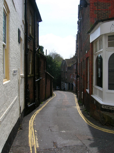
Image: © Simon Carey Taken: 20 Apr 2008
Small lane heading south from the High Street its slope giving an indication of East Grinstead's main street being built on a Wealden ridge.
Images are licensed for reuse under creativecommons.org/licenses/by-sa/2.0
Image Location
Latitude
51.12301
Longitude
-0.005893