
IMAGES TAKEN NEAR TO
Amberley Close, HAYWARDS HEATH, RH16 4AX
Introduction
This page details the photographs taken nearby to Amberley Close, RH16 4AX by members of the Geograph project.
The Geograph project started in 2005 with the aim of publishing, organising and preserving representative images for every square kilometre of Great Britain, Ireland and the Isle of Man.

There are currently over 7.5m images from over14,400 individuals and you can help contribute to the project by visiting https://www.geograph.org.uk
Image Map
Images are licensed for reuse under creativecommons.org/licenses/by-sa/2.0
Notes
- Clicking on the map will re-center to the selected point.
- The higher the marker number, the further away the image location is from the centre of the postcode.
Image Listing (83 Images Found)
Images are licensed for reuse under creativecommons.org/licenses/by-sa/2.0
Image
Details
Distance
1
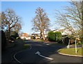
Amberley Close, Haywards Heath
A cul de sac off Wealden Way to the west of the railway line roughly occupying a field called Ten Acres according to Cuckfield's 1843 tithe map. Part of an estate that was built on the former fields of Great Haywards Farm, whose 15th century farmhouse still remains.
Image: © Simon Carey
Taken: 8 Feb 2015
0.05 miles
2
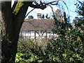
Great Haywards, Haywards Heath
Amongst a late 1970s housing estate is this former farmhouse dating back to the 15th century and originally the main house for the manor of Hayworth. Viewed from Wealden Way.
Image: © Simon Carey
Taken: 31 Mar 2015
0.07 miles
3
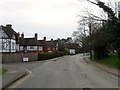
Bolnore Road, Haywards Heath
Not marked on Cuckfield's 1843 tithe map but in place by the first edition of the OS map in 1874 to enable access to Bolnore House from the east. The houses in view were added in the late 19th century whilst Wealden Way on the left was built in the late 1970s.
Image: © Simon Carey
Taken: 30 Mar 2015
0.07 miles
4
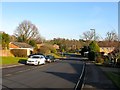
Wealden Way, Haywards Heath
The main access road for an estate built in the 1980s on the site of fields once belonging to Great Haywards Farm, whose 15th century farmhouse still stands.
Image: © Simon Carey
Taken: 8 Feb 2015
0.08 miles
5
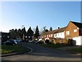
Beech Hurst Close, Haywards Heath
Small cul de sac off Bolnore Road that lies to the east of Beech Hurst gardens.
Image: © Simon Carey
Taken: 8 Feb 2015
0.10 miles
6
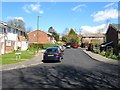
Duncton Close, Haywards Heath
A small cul de sac off Climping Close built in the late 1970s on former fields belonging to Great Haywards Farm.
Image: © Simon Carey
Taken: 31 Mar 2015
0.10 miles
7
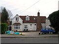
The Old Coach House, Bolnore Road, Haywards Heath
Built in the late 19th century to service Elfinsward which lay opposite and was demolished in 1973 to make way for Image and Image Now a private residence.
Image: © Simon Carey
Taken: 30 Mar 2015
0.11 miles
8
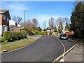
Bramber Close, Haywards Heath
A cul de sac off Wealden Way built in the mid 1970s on the site of a former large Victorian house called Great Haywards.
Image: © Simon Carey
Taken: 7 Mar 2015
0.11 miles
9
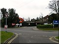
Site of Former Law Courts, Bolnore Road, Haywards Heath
Haywards Heath first acquired its own court in 1888 when the bench moved from Cuckfield and occupied a building near the station in Paddockhall Road where it stayed until the 1980s when it moved to this site, once occupied by a house called Elfinsward built in the 1860s which became a Diocesan Conference Centre from 1928 and until its sale to Sussex Police in 1973 who subsequently demolished it but then had to wait a number of years of legal wrangling to finally be able to build a new police station. The magistrates court sat until 2012 when it was closed as part of the government's cost cutting measures with the building being demolished and set to be replaced by sheltered housing.
Image: © Simon Carey
Taken: 30 Mar 2015
0.11 miles
10
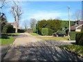
Oakwood Road, Haywards Heath
Currently a private cul de sac off Muster Green South. The road predates the town and is clearly marked on a 1638 estate map where it was an access road for Great Haywards Farm, a building which still stands. By the later half of the 19th century it was also an access road for two more large houses; Great Haywards and Oakwood; which remained the case until the mid 1970s when Great Haywards was demolished the fields around the former farm were developed. Since then the road has become a dead end though a footpath continues through to Wealden Way.
Image: © Simon Carey
Taken: 7 Mar 2015
0.12 miles