Bolnore Road, Haywards Heath
Introduction
The photograph on this page of Bolnore Road, Haywards Heath by Simon Carey as part of the Geograph project.
The Geograph project started in 2005 with the aim of publishing, organising and preserving representative images for every square kilometre of Great Britain, Ireland and the Isle of Man.

There are currently over 7.5m images from over 14,400 individuals and you can help contribute to the project by visiting https://www.geograph.org.uk
Bolnore Road, Haywards Heath
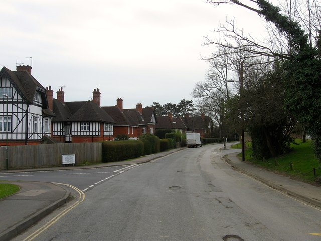
Image: © Simon Carey Taken: 30 Mar 2015
Not marked on Cuckfield's 1843 tithe map but in place by the first edition of the OS map in 1874 to enable access to Bolnore House from the east. The houses in view were added in the late 19th century whilst Wealden Way on the left was built in the late 1970s.
Images are licensed for reuse under creativecommons.org/licenses/by-sa/2.0
Image Location
Latitude
50.997897
Longitude
-0.113162