
IMAGES TAKEN NEAR TO
Turners Mill Road, HAYWARDS HEATH, RH16 1NW
Introduction
This page details the photographs taken nearby to Turners Mill Road, RH16 1NW by members of the Geograph project.
The Geograph project started in 2005 with the aim of publishing, organising and preserving representative images for every square kilometre of Great Britain, Ireland and the Isle of Man.

There are currently over 7.5m images from over14,400 individuals and you can help contribute to the project by visiting https://www.geograph.org.uk
Image Map
Images are licensed for reuse under creativecommons.org/licenses/by-sa/2.0
Notes
- Clicking on the map will re-center to the selected point.
- The higher the marker number, the further away the image location is from the centre of the postcode.
Image Listing (74 Images Found)
Images are licensed for reuse under creativecommons.org/licenses/by-sa/2.0
Image
Details
Distance
1
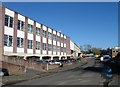
Flowserve, Burrell Road, Haywards Heath
A multinational manufacturer of valves and pumps. Burrell Road industrial estate was created in the 1960s when one of its businesses included the Norris Brothers, responsible for designing and making Donald Campbell's Bluebird K7 which would crash on Coniston Water in an attempt to break the land speed record.
Image: © Simon Carey
Taken: 17 Feb 2015
0.07 miles
3
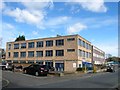
Norris House, Burrell Road, Haywards Heath
Named after Norris Brothers whose Burgess Hill engineering firm moved here in the early 1960s and are chiefly remembered for designing Donald Campbell's Bluebird jet cars and boats. The engineering firm has long gone and the building is now used as offices.
Image: © Simon Carey
Taken: 30 Mar 2015
0.08 miles
4
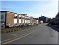
Mencap, Burrell Road, Haywards Heath
The charity's offices are part of a former factory which has been subdivided into smaller units on Burrell Industrial Estate. The block in the distance is Image
Image: © Simon Carey
Taken: 12 Apr 2015
0.08 miles
5
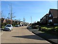
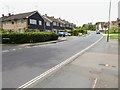
Turners Mill Road, Haywards Heath
A residential road linking Penland Road to Harlands Road and constructed in the 1960s as part of the Harlands estate.
Image: © Simon Carey
Taken: 12 Apr 2015
0.09 miles
6
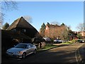
Harlands Farmhouse, Bridgers Mill, Haywards Heath
Dating from the late 16th century and now buried within a residential estate built upon the fields it once farmed. The building on the left is Harlands Barn and dates from the 16th century but has now been converted to residential use.
Image: © Simon Carey
Taken: 17 Feb 2015
0.09 miles
7
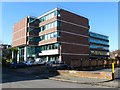
Chester House, Harlands Road, Haywards Heath
Built in the 1960s and located on the corner of Burrell Road and Harlands Road.
Image: © Simon Carey
Taken: 17 Feb 2015
0.09 miles
8
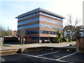
Burns House, Harlands Road, Haywards Heath
The office block was constructed in the 1980s. This is the rear view from Burrell Road.
Image: © Simon Carey
Taken: 12 Apr 2015
0.11 miles
9
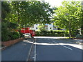
Burrell Road meets Harlands Road
Burrell Road is mainly industrial and business units.
Image: © Dave Spicer
Taken: 7 Sep 2012
0.11 miles
10
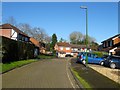
Bridgers Mill, Haywards Heath
A cul de sac off Burrell Road named after the former watermill that was located nearby. It occupies a former field called Barn Meadow that once lay adjacent to Image until the current estate was built during the 1990s.
Image: © Simon Carey
Taken: 17 Feb 2015
0.12 miles