Harlands Farmhouse, Bridgers Mill, Haywards Heath
Introduction
The photograph on this page of Harlands Farmhouse, Bridgers Mill, Haywards Heath by Simon Carey as part of the Geograph project.
The Geograph project started in 2005 with the aim of publishing, organising and preserving representative images for every square kilometre of Great Britain, Ireland and the Isle of Man.

There are currently over 7.5m images from over 14,400 individuals and you can help contribute to the project by visiting https://www.geograph.org.uk
Harlands Farmhouse, Bridgers Mill, Haywards Heath
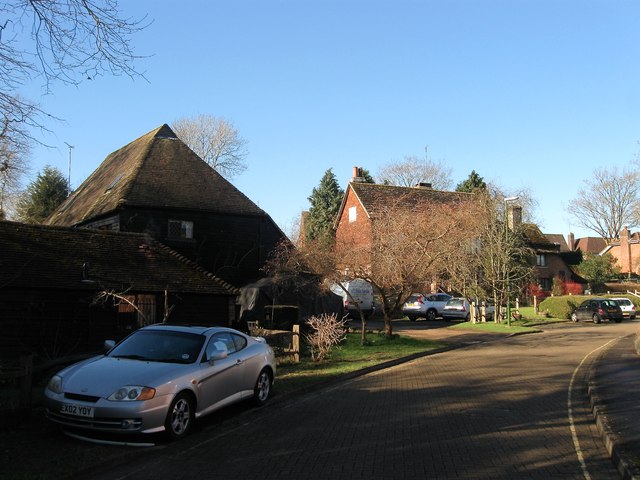
Image: © Simon Carey Taken: 17 Feb 2015
Dating from the late 16th century and now buried within a residential estate built upon the fields it once farmed. The building on the left is Harlands Barn and dates from the 16th century but has now been converted to residential use.
Images are licensed for reuse under creativecommons.org/licenses/by-sa/2.0
Image Location
Latitude
51.008774
Longitude
-0.107304