IMAGES TAKEN NEAR TO
Crab Hill Lane, REDHILL, RH1 5PG
Introduction
This page details the photographs taken nearby to Crab Hill Lane, RH1 5PG by members of the Geograph project.
The Geograph project started in 2005 with the aim of publishing, organising and preserving representative images for every square kilometre of Great Britain, Ireland and the Isle of Man.

There are currently over 7.5m images from over14,400 individuals and you can help contribute to the project by visiting https://www.geograph.org.uk
Image Map
Images are licensed for reuse under creativecommons.org/licenses/by-sa/2.0
Notes
- Clicking on the map will re-center to the selected point.
- The higher the marker number, the further away the image location is from the centre of the postcode.
Image Listing (32 Images Found)
Images are licensed for reuse under creativecommons.org/licenses/by-sa/2.0
Image
Details
Distance
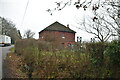
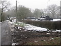
1
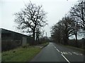
Crab Hill Lane, South Nutfield
The barn and railings on the left have been added since 2008, previously it was an unfenced farmyard.
Image: © David Howard
Taken: 24 Jan 2016
0.00 miles
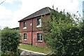
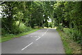
2
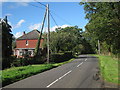
Brookside Cottage, Crab Hill Lane
Image: © Oast House Archive
Taken: 6 Oct 2010
0.00 miles