Crab Hill Lane, South Nutfield
Introduction
The photograph on this page of Crab Hill Lane, South Nutfield by David Howard as part of the Geograph project.
The Geograph project started in 2005 with the aim of publishing, organising and preserving representative images for every square kilometre of Great Britain, Ireland and the Isle of Man.

There are currently over 7.5m images from over 14,400 individuals and you can help contribute to the project by visiting https://www.geograph.org.uk
Crab Hill Lane, South Nutfield
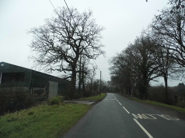
Image: © David Howard Taken: 24 Jan 2016
The barn and railings on the left have been added since 2008, previously it was an unfenced farmyard.
Images are licensed for reuse under creativecommons.org/licenses/by-sa/2.0
Image Location
Latitude
51.213773
Longitude
-0.126974