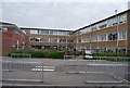
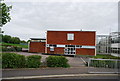
IMAGES TAKEN NEAR TO
Comptons Lane, HORSHAM, RH13 5NS
Introduction
This page details the photographs taken nearby to Comptons Lane, RH13 5NS by members of the Geograph project.
The Geograph project started in 2005 with the aim of publishing, organising and preserving representative images for every square kilometre of Great Britain, Ireland and the Isle of Man.

There are currently over 7.5m images from over14,400 individuals and you can help contribute to the project by visiting https://www.geograph.org.uk
Image Map
Images are licensed for reuse under creativecommons.org/licenses/by-sa/2.0
Notes
- Clicking on the map will re-center to the selected point.
- The higher the marker number, the further away the image location is from the centre of the postcode.
Image Listing (11 Images Found)
Images are licensed for reuse under creativecommons.org/licenses/by-sa/2.0
Image
Details
Distance
1
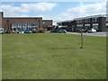
The Forest School
Main entrance to The Forest School, Horsham.
The Forest is an all boys 11 - 16 comprehensive. The building was established on this site c.1953 as the Forest County Secondary Modern School for Boys. The equivalent Girls School was built just round the corner in Highlands Road (formerly Grub Street) and is now called 'Millais School'. Both schools became comprehensive in 1974.
Tanbridge House on Farthings Hill is the other secondary school in Horsham and is 11 - 16 coeducational and comprehensive.
Post-16 is catered by The College of Richard Collyer in Horsham'.
Image: © Peter Cox
Taken: 4 Apr 2007
0.13 miles
2
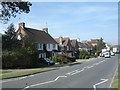
Horsham, Brighton road
Brighton road, Horsham. The A281 heading up a slight hill south-west to Brighton via Cowfold and Henfield.
Image: © Peter Cox
Taken: 4 Apr 2007
0.15 miles
7
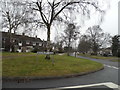
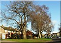
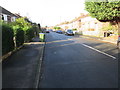
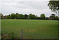
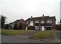
Brambling Road at the junction of St Leonard's Road
Image: © David Howard
Taken: 30 Jan 2017
0.24 miles
8
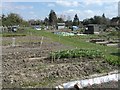
Bennetts Road Allotments
The allotment site is less than two acres with 30 members sharing a total of 206 rods.
The allotments are leased from Horsham District Council, but are run by the members.
Image: © Peter Cox
Taken: 4 Apr 2007
0.25 miles