Horsham, Brighton road
Introduction
The photograph on this page of Horsham, Brighton road by Peter Cox as part of the Geograph project.
The Geograph project started in 2005 with the aim of publishing, organising and preserving representative images for every square kilometre of Great Britain, Ireland and the Isle of Man.

There are currently over 7.5m images from over 14,400 individuals and you can help contribute to the project by visiting https://www.geograph.org.uk
Horsham, Brighton road
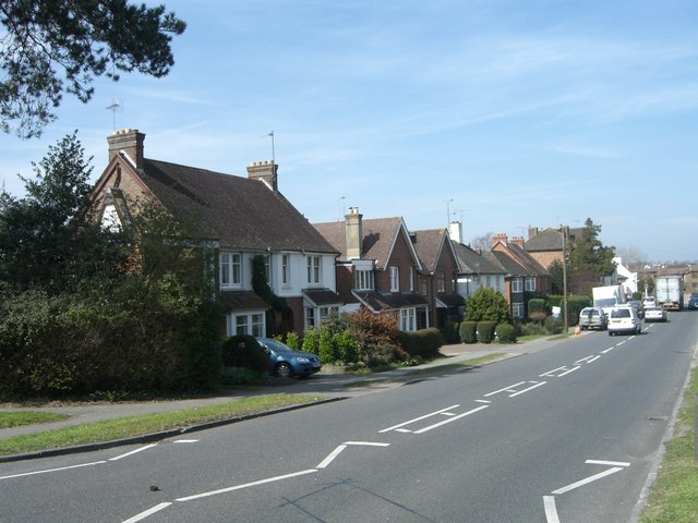
Image: © Peter Cox Taken: 4 Apr 2007
Brighton road, Horsham. The A281 heading up a slight hill south-west to Brighton via Cowfold and Henfield.
Images are licensed for reuse under creativecommons.org/licenses/by-sa/2.0
Image Location
Latitude
51.061618
Longitude
-0.310368