
IMAGES TAKEN NEAR TO
Hayes Lane, HORSHAM, RH13 0SQ
Introduction
This page details the photographs taken nearby to Hayes Lane, RH13 0SQ by members of the Geograph project.
The Geograph project started in 2005 with the aim of publishing, organising and preserving representative images for every square kilometre of Great Britain, Ireland and the Isle of Man.

There are currently over 7.5m images from over14,400 individuals and you can help contribute to the project by visiting https://www.geograph.org.uk
Image Map
Images are licensed for reuse under creativecommons.org/licenses/by-sa/2.0
Notes
- Clicking on the map will re-center to the selected point.
- The higher the marker number, the further away the image location is from the centre of the postcode.
Image Listing (44 Images Found)
Images are licensed for reuse under creativecommons.org/licenses/by-sa/2.0
Image
Details
Distance
3
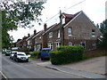
Hayes Lane
This is the main road south from Slinfold village. The Downs Link path crosses the road here, in front of the gabled wall with the advertising still clearly showing.
Image: © Colin Smith
Taken: 20 Jun 2009
0.01 miles
4
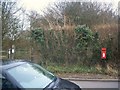
Post Box
Rh13 141 Hayes Lane (Slinfold)
Image: © The Saunterer
Taken: 2 Mar 2013
0.02 miles
5
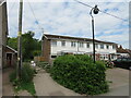
Downs Link at Slinfold, near Horsham
The path to the left of the houses forms part of the Downs Link path, which follows a dismantled railway line. The path also forms part of route 223 of the National Cycle Network.
Image: © Malc McDonald
Taken: 3 Jun 2022
0.02 miles
7
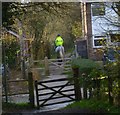
Horse and rider on the Downs Link by Hayes Lane
See also http://www.geograph.org.uk/photo/1869953 from 2010.
Image: © Shazz
Taken: 30 Jan 2016
0.02 miles
8
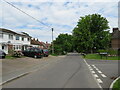
Hayes Lane, Slinfold, near Horsham
Hayes Lane is a minor road in the village of Slinfold, near Horsham.
Image: © Malc McDonald
Taken: 3 Jun 2022
0.03 miles
9

Advertising painted on house, Slinfold
This advertisement would have been visible to the local residents and passengers on the Guildford to Horsham railway line. The embankment to raise the line for the (now demolished) bridge would have brought the train to the same height as the sign.
Image: © Andy Potter
Taken: 18 Sep 2006
0.03 miles
10
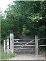
Downs Link (east) from Hayes Lane, Slinfold
This footpath follows the dismantled Guildford to Horsham railway line.
Image: © Andy Potter
Taken: 18 Sep 2006
0.03 miles