Hayes Lane
Introduction
The photograph on this page of Hayes Lane by Colin Smith as part of the Geograph project.
The Geograph project started in 2005 with the aim of publishing, organising and preserving representative images for every square kilometre of Great Britain, Ireland and the Isle of Man.

There are currently over 7.5m images from over 14,400 individuals and you can help contribute to the project by visiting https://www.geograph.org.uk
Hayes Lane
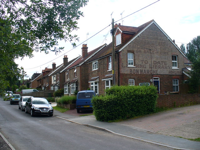
Image: © Colin Smith Taken: 20 Jun 2009
This is the main road south from Slinfold village. The Downs Link path crosses the road here, in front of the gabled wall with the advertising still clearly showing.
Images are licensed for reuse under creativecommons.org/licenses/by-sa/2.0
Image Location
Latitude
51.065667
Longitude
-0.406558