IMAGES TAKEN NEAR TO
Marches Road, HORSHAM, RH12 3SL
Introduction
This page details the photographs taken nearby to Marches Road, RH12 3SL by members of the Geograph project.
The Geograph project started in 2005 with the aim of publishing, organising and preserving representative images for every square kilometre of Great Britain, Ireland and the Isle of Man.

There are currently over 7.5m images from over14,400 individuals and you can help contribute to the project by visiting https://www.geograph.org.uk
Image Map
Images are licensed for reuse under creativecommons.org/licenses/by-sa/2.0
Notes
- Clicking on the map will re-center to the selected point.
- The higher the marker number, the further away the image location is from the centre of the postcode.
Image Listing (8 Images Found)
Images are licensed for reuse under creativecommons.org/licenses/by-sa/2.0
Image
Details
Distance
1
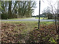
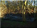
Footpath 1422 joining Marches Road
The path continues on past the house to meet with Mayes Lane.
Image: © Dave Spicer
Taken: 11 Mar 2012
0.03 miles
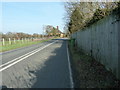
2
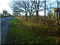
Looking west along Marches Road at footpath junction
Image: © Shazz
Taken: 7 Jan 2016
0.04 miles
6
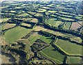
Winterfold from the air
Winterfold is hard to identify as a hamlet; it's a scatter of farms and barns, none of them contiguous.
Image: © Derek Harper
Taken: 3 Oct 2016
0.17 miles
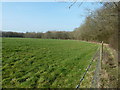
7
Marches Road approaching Marches Farmhouse
Image: © Dave Spicer
Taken: 11 Mar 2012
0.20 miles
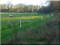
8
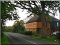
Marches Farmhouse, Marches Road
The date 1877 appears as a pattern of blue brickwork (so called 'diapering') between the middle and left-hand ground-floor windows. No longer a working farm.
Image: © Stefan Czapski
Taken: 14 Oct 2015
0.21 miles