Winterfold from the air
Introduction
The photograph on this page of Winterfold from the air by Derek Harper as part of the Geograph project.
The Geograph project started in 2005 with the aim of publishing, organising and preserving representative images for every square kilometre of Great Britain, Ireland and the Isle of Man.

There are currently over 7.5m images from over 14,400 individuals and you can help contribute to the project by visiting https://www.geograph.org.uk
Winterfold from the air
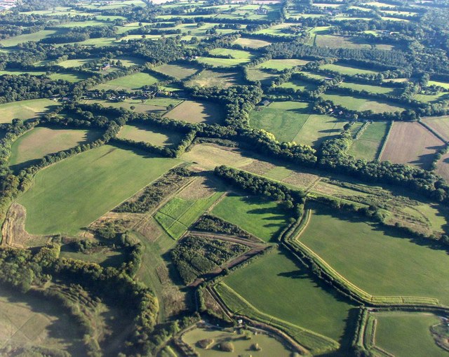
Image: © Derek Harper Taken: 3 Oct 2016
Winterfold is hard to identify as a hamlet; it's a scatter of farms and barns, none of them contiguous.
Images are licensed for reuse under creativecommons.org/licenses/by-sa/2.0
Image Location
Latitude
51.111725
Longitude
-0.355687