IMAGES TAKEN NEAR TO
Charleston Court, Forestfield, CRAWLEY, RH10 6PT
Introduction
This page details the photographs taken nearby to Charleston Court, Forestfield, RH10 6PT by members of the Geograph project.
The Geograph project started in 2005 with the aim of publishing, organising and preserving representative images for every square kilometre of Great Britain, Ireland and the Isle of Man.

There are currently over 7.5m images from over14,400 individuals and you can help contribute to the project by visiting https://www.geograph.org.uk
Image Map
Images are licensed for reuse under creativecommons.org/licenses/by-sa/2.0
Notes
- Clicking on the map will re-center to the selected point.
- The higher the marker number, the further away the image location is from the centre of the postcode.
Image Listing (38 Images Found)
Images are licensed for reuse under creativecommons.org/licenses/by-sa/2.0
Image
Details
Distance
1
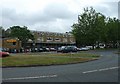
Furnace Green Parade, Furnace Green, Crawley
At the centre of the local community, this local parade of shops provides access to most everyday needs for the residents of this Crawley neighbourhood. The style of the parade is slightly more modern than that of Tilgate (TQ2735) - late 1950s?
Image: © Pete Chapman
Taken: 1 Jul 2005
0.04 miles
2
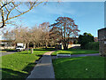
St Leonards Drive, Furnace Green, Crawley
A dead-end, although a bridleway continues under the railway to Maidenbower.
Image: © Robin Webster
Taken: 25 Dec 2020
0.06 miles
3
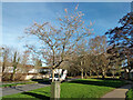
Tree in blossom, Christmas Day, 2020
It seemed to be some sort of cherry.
Image: © Robin Webster
Taken: 25 Dec 2020
0.08 miles
4
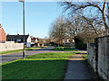
St Leonards Drive, Furnace Green, Crawley
A dead-end, although a bridleway continues under the railway to Maidenbower.
Image: © Robin Webster
Taken: 25 Dec 2020
0.09 miles
5
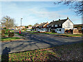
Furnace Farm Road, Furnace Green, Crawley
Looking from St Leonards Drive.
Image: © Robin Webster
Taken: 25 Dec 2020
0.10 miles
6
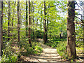
Path towards end of Rosamund Road
Rosamund Road is one of the access points to Tilgate Park, used by NCN 20, although it does not use this particular path.
Image: © Robin Webster
Taken: 26 Apr 2020
0.14 miles
7
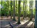
In the National Grid plantation
An area abutting Tilgate Park owned by National Grid, but with permissive public access and with several paths, including this one now used by National Cycle Route 20.
Image: © Robin Webster
Taken: 14 Oct 2012
0.14 miles
8
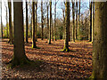
Beech and oak plantation
Possibly not strictly Tilgate Park, but effectively so.
Image: © Robin Webster
Taken: 25 Dec 2020
0.15 miles