Path towards end of Rosamund Road
Introduction
The photograph on this page of Path towards end of Rosamund Road by Robin Webster as part of the Geograph project.
The Geograph project started in 2005 with the aim of publishing, organising and preserving representative images for every square kilometre of Great Britain, Ireland and the Isle of Man.

There are currently over 7.5m images from over 14,400 individuals and you can help contribute to the project by visiting https://www.geograph.org.uk
Path towards end of Rosamund Road
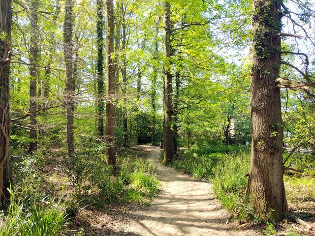
Image: © Robin Webster Taken: 26 Apr 2020
Rosamund Road is one of the access points to Tilgate Park, used by NCN 20, although it does not use this particular path.
Images are licensed for reuse under creativecommons.org/licenses/by-sa/2.0
Image Location
Latitude
51.103007
Longitude
-0.162736