
IMAGES TAKEN NEAR TO
Hermitage Road, THATCHAM, RG18 9JG
Introduction
This page details the photographs taken nearby to Hermitage Road, RG18 9JG by members of the Geograph project.
The Geograph project started in 2005 with the aim of publishing, organising and preserving representative images for every square kilometre of Great Britain, Ireland and the Isle of Man.

There are currently over 7.5m images from over14,400 individuals and you can help contribute to the project by visiting https://www.geograph.org.uk
Image Map
Images are licensed for reuse under creativecommons.org/licenses/by-sa/2.0
Notes
- Clicking on the map will re-center to the selected point.
- The higher the marker number, the further away the image location is from the centre of the postcode.
Image Listing (7 Images Found)
Images are licensed for reuse under creativecommons.org/licenses/by-sa/2.0
Image
Details
Distance
1
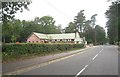
Hermitage Road - Cold Ash
The principal visible building is the Memorial Hall on the edge of the recreation ground.
Image: © Mr Ignavy
Taken: 3 Sep 2011
0.07 miles
2
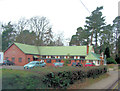
The Acland Hall
Situated in the recreation ground this memorial hall is the venue for meetings of many local clubs and societies.
Image: © Stuart Logan
Taken: 28 Feb 2012
0.08 miles
3
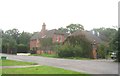
Large private dwelling
The Ridge, Cold Ash.
Image: © Mr Ignavy
Taken: 3 Sep 2011
0.15 miles
4
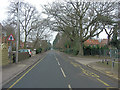
Cold Ash Hill runs past St Mark's Primary School
Image: © Stuart Logan
Taken: 28 Feb 2012
0.16 miles
5
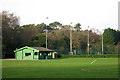
Pavilion along Hermitage Road
A big area of sports field is along here on the east side of Hermitage Road.
Image: © Des Blenkinsopp
Taken: 28 Dec 2015
0.19 miles
6
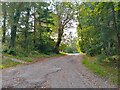
Fisher's Lane, Cold Ash
A private cul-de-sac section of Fisher's Lane off the main lane that runs from Long Lane to Hermitage Road.
Image: © Oscar Taylor
Taken: 9 Oct 2023
0.24 miles
7
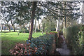
Footpath near Cold Ash Common
Between playing fields and the gardens of large houses in a woodland setting.
Image: © Des Blenkinsopp
Taken: 28 Dec 2015
0.24 miles