
IMAGES TAKEN NEAR TO
Willow Street, READING, RG1 6JW
Introduction
This page details the photographs taken nearby to Willow Street, RG1 6JW by members of the Geograph project.
The Geograph project started in 2005 with the aim of publishing, organising and preserving representative images for every square kilometre of Great Britain, Ireland and the Isle of Man.

There are currently over 7.5m images from over14,400 individuals and you can help contribute to the project by visiting https://www.geograph.org.uk
Image Map
Images are licensed for reuse under creativecommons.org/licenses/by-sa/2.0
Notes
- Clicking on the map will re-center to the selected point.
- The higher the marker number, the further away the image location is from the centre of the postcode.
Image Listing (687 Images Found)
Images are licensed for reuse under creativecommons.org/licenses/by-sa/2.0
Image
Details
Distance
1
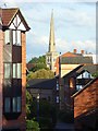
Talbot Court, Reading
Town centre flats viewed from the roundabout at the top of Castle Street. St Giles's church is in the background.
Image: © Andrew Smith
Taken: 14 Sep 2007
0.02 miles
2
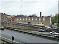
Salvation Army building, Reading
This is Willow House, a hostel for the homeless.
Image: © Robin Webster
Taken: 29 Nov 2015
0.03 miles
3
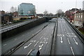
IDR junction
This is the western part of Reading's Inner Distribution Road (IDR) looking north. Only the first few metres are in the square. The slip roads to/from the Police station roundabout go out of the square and the roundabout itself is in Image The Salvation Army Hostel is the brown brick building to the right. Flats sit cheek by jowl with office blocks and road carriageways.
Image: © Graham Horn
Taken: 7 Jan 2011
0.03 miles
4

Holybrook House
These offices, occupied by a solicitors' firm and a couple of consultancies, are opposite Reading police station. I have always liked the symmetry of the frontage, although it looks rather bland in a photograph.
Image: © Graham Horn
Taken: 7 Aug 2009
0.03 miles
5
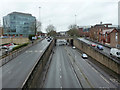
A329, Inner Distribution Road, Reading
For those inwardly seeking distribution.
Image: © Robin Webster
Taken: 29 Nov 2015
0.03 miles
6

Almshouses, Reading
In a cul-de-sac off Castle Street, with modern housing in Talbot Court beyond, and the spire of Christchurch in the distance.
Image: © Andrew Smith
Taken: 11 Oct 2007
0.04 miles

8

Benchmark on the Almshouses, Castle Street
Ordnance Survey cut mark benchmark described on the Bench Mark Database at http://www.bench-marks.org.uk/bm35571
Image: © Roger Templeman
Taken: 26 Jun 2014
0.04 miles
9
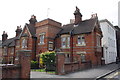
The Almshouses, Castle Street
There is an OS benchmark Image on the near corner of the brick almshouse on the third and fourth bricks above the pavement. The white building is 'Talbot House'
Image: © Roger Templeman
Taken: 26 Jun 2014
0.04 miles
10
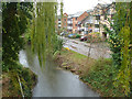
Holy Brook, Reading
A Kennet backwater, remarkably long at nearly 10 km.
Image: © Robin Webster
Taken: 29 Nov 2015
0.05 miles