IDR junction
Introduction
The photograph on this page of IDR junction by Graham Horn as part of the Geograph project.
The Geograph project started in 2005 with the aim of publishing, organising and preserving representative images for every square kilometre of Great Britain, Ireland and the Isle of Man.

There are currently over 7.5m images from over 14,400 individuals and you can help contribute to the project by visiting https://www.geograph.org.uk
IDR junction
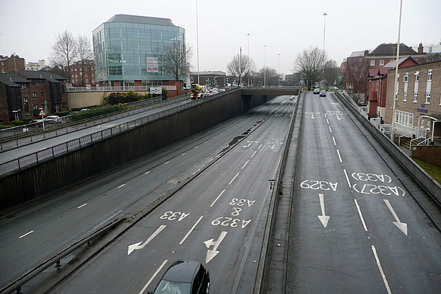
Image: © Graham Horn Taken: 7 Jan 2011
This is the western part of Reading's Inner Distribution Road (IDR) looking north. Only the first few metres are in the square. The slip roads to/from the Police station roundabout go out of the square and the roundabout itself is in Image The Salvation Army Hostel is the brown brick building to the right. Flats sit cheek by jowl with office blocks and road carriageways.
Images are licensed for reuse under creativecommons.org/licenses/by-sa/2.0
Image Location
Latitude
51.451429
Longitude
-0.977037