
IMAGES TAKEN NEAR TO
Henley Road, READING, RG10 8JB
Introduction
This page details the photographs taken nearby to Henley Road, RG10 8JB by members of the Geograph project.
The Geograph project started in 2005 with the aim of publishing, organising and preserving representative images for every square kilometre of Great Britain, Ireland and the Isle of Man.

There are currently over 7.5m images from over14,400 individuals and you can help contribute to the project by visiting https://www.geograph.org.uk
Image Map
Images are licensed for reuse under creativecommons.org/licenses/by-sa/2.0
Notes
- Clicking on the map will re-center to the selected point.
- The higher the marker number, the further away the image location is from the centre of the postcode.
Image Listing (24 Images Found)
Images are licensed for reuse under creativecommons.org/licenses/by-sa/2.0
Image
Details
Distance
3
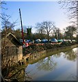
Hennerton Backwater
This is part of the River Thames and flows for about 1.5 kms a short distance east of the main river, creating a small island or eyot.
It is navigable for any craft able to fit under the two small bridges at the north and south ends.
Together with St Patrick's Stream a short distance upstream, it is an alternative route along this stretch of the Thames for canoes, skiffs etc. and makes a change from the big river for a few kilometres.
Image: © Des Blenkinsopp
Taken: 8 Jan 2015
0.07 miles
4
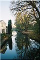
Reflections, Hennerton Backwater
This backwater splits from the Thames just north of Wargrave
Image: © Andrew Smith
Taken: 19 Nov 2005
0.08 miles
5
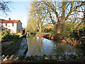
Hennerton Backwater 2
This is part of the River Thames and flows for about 1.5 kms a short distance east of the main river, creating a small island or eyot.
It is navigable for any craft able to fit under the two small bridges at the north and south ends.
Together with St Patrick's Stream a short distance upstream, it is an alternative route along this stretch of the Thames for canoes, skiffs etc. and makes a change from the big river for a few kilometres.
Image: © Des Blenkinsopp
Taken: 8 Jan 2015
0.09 miles
6
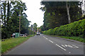
A321 towards Henley
The Thames is not far off to the left, the banners ahead are at a marina.
Image: © Robin Webster
Taken: 11 Aug 2019
0.09 miles
8
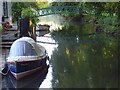
Hennerton Backwater
A tranquil scene on this little channel of the Thames just below Wargrave.
Image: © Andrew Smith
Taken: 16 Aug 2007
0.09 miles
9
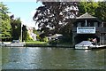
Small riverside business
Between all the large houses on the Wargrave shore are a number of small boatyards, offering a variety of services, in this case craft for sale, moorings and repairs.
Image: © Graham Horn
Taken: 23 Aug 2008
0.10 miles
10
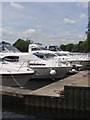
Wargrave Marina on the R. Thames
This is one of the most affluent stretches of the R. Thames
Image: © Mick Crawley
Taken: 9 Jun 2004
0.10 miles