IMAGES TAKEN NEAR TO
Lytham Road, SOUTHPORT, PR9 9TZ
Introduction
This page details the photographs taken nearby to Lytham Road, PR9 9TZ by members of the Geograph project.
The Geograph project started in 2005 with the aim of publishing, organising and preserving representative images for every square kilometre of Great Britain, Ireland and the Isle of Man.

There are currently over 7.5m images from over14,400 individuals and you can help contribute to the project by visiting https://www.geograph.org.uk
Image Map
Images are licensed for reuse under creativecommons.org/licenses/by-sa/2.0
Notes
- Clicking on the map will re-center to the selected point.
- The higher the marker number, the further away the image location is from the centre of the postcode.
Image Listing (7 Images Found)
Images are licensed for reuse under creativecommons.org/licenses/by-sa/2.0
Image
Details
Distance
3
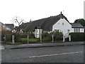
Shrimpers Cottages
Thatched cottages in Marshside
Image: © K A
Taken: 13 Dec 2009
0.20 miles
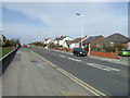
4
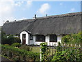
Fisherman's Cottage
The Marshside area has many examples of 18th century fishermen's cottages typically with a single storey, rendered or roughcast and with a thatched roof.
Image: © Sue Adair
Taken: 8 Sep 2015
0.20 miles
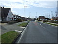
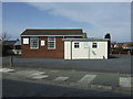
6
Larkfield Lane, Marshside, Southport
Image: © Mike Pennington
Taken: 8 Jul 2016
0.22 miles
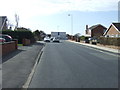
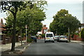
7
Marshside Road
Heading north towards the coast.
Image: © JThomas
Taken: 15 Mar 2014
0.24 miles