IMAGES TAKEN NEAR TO
Compass Road, PORTSMOUTH, PO6 4PR
Introduction
This page details the photographs taken nearby to Compass Road, PO6 4PR by members of the Geograph project.
The Geograph project started in 2005 with the aim of publishing, organising and preserving representative images for every square kilometre of Great Britain, Ireland and the Isle of Man.

There are currently over 7.5m images from over14,400 individuals and you can help contribute to the project by visiting https://www.geograph.org.uk
Image Map
Images are licensed for reuse under creativecommons.org/licenses/by-sa/2.0
Notes
- Clicking on the map will re-center to the selected point.
- The higher the marker number, the further away the image location is from the centre of the postcode.
Image Listing (68 Images Found)
Images are licensed for reuse under creativecommons.org/licenses/by-sa/2.0
Image
Details
Distance
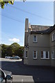
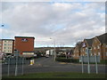
1
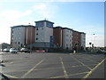
Car park of the Premier Inn, Port Solent East
Image: © David Gearing
Taken: 7 Sep 2013
0.05 miles
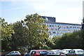
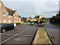
6
Coffin Mew, Clement Atlee Way
Used to be Coffin Mew Clover
Image: © Basher Eyre
Taken: 26 Feb 2008
0.10 miles
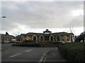
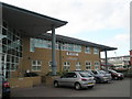
9
Tulip Inn
A comparatively new addition to this busy road, it opened in 2004.
Image: © Basher Eyre
Taken: 16 Nov 2007
0.12 miles