IMAGES TAKEN NEAR TO
Stone Barton Road, PLYMOUTH, PL7 4LR
Introduction
This page details the photographs taken nearby to Stone Barton Road, PL7 4LR by members of the Geograph project.
The Geograph project started in 2005 with the aim of publishing, organising and preserving representative images for every square kilometre of Great Britain, Ireland and the Isle of Man.

There are currently over 7.5m images from over14,400 individuals and you can help contribute to the project by visiting https://www.geograph.org.uk
Image Map
Images are licensed for reuse under creativecommons.org/licenses/by-sa/2.0
Notes
- Clicking on the map will re-center to the selected point.
- The higher the marker number, the further away the image location is from the centre of the postcode.
Image Listing (33 Images Found)
Images are licensed for reuse under creativecommons.org/licenses/by-sa/2.0
Image
Details
Distance
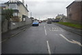
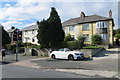
8
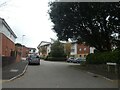
Acorn Gardens, off Plymbridge Road, Plympton
Image: © David Smith
Taken: 22 Sep 2020
0.16 miles
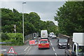
9
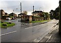
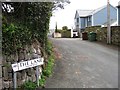
Plymbridge Road, Plympton
At the junction with Lucas Lane (left), and just about to drop down into the valley of the Tory Brook / Long Brook.
Image: © Derek Harper
Taken: 5 Nov 2009
0.16 miles