Plymbridge Road, Plympton
Introduction
The photograph on this page of Plymbridge Road, Plympton by Derek Harper as part of the Geograph project.
The Geograph project started in 2005 with the aim of publishing, organising and preserving representative images for every square kilometre of Great Britain, Ireland and the Isle of Man.

There are currently over 7.5m images from over 14,400 individuals and you can help contribute to the project by visiting https://www.geograph.org.uk
Plymbridge Road, Plympton
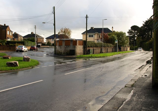
Image: © Derek Harper Taken: 5 Nov 2009
At the junction with Lucas Lane (left), and just about to drop down into the valley of the Tory Brook / Long Brook.
Images are licensed for reuse under creativecommons.org/licenses/by-sa/2.0
Image Location
Latitude
50.39368
Longitude
-4.06243